
Kiribati at a glance: its flag, its capital South Tarawa, its population and where it sits on the world map. Plus a way to test yourself afterwards.
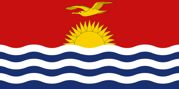
Based on a colonial badge designed in 1931 by Sir Arthur Grimble for the Gilbert and Ellice Islands, Kiribati’s flag became that of the independent country on 12 July 1979: a golden frigatebird flying over a rising sun with seventeen rays, above three white wavy stripes on a blue field.
The seventeen rays count the sixteen Gilbert Islands and Banaba, while the three stripes stand for the Pacific Ocean and the country’s three archipelagos, the Gilbert, Phoenix and Line Islands; when a more “modern” design was debated, islanders insisted on keeping this pattern inherited from colonial times.

No land border.
So you know this country? Check that you know the other 192 too.
Data: Wikidata (CC0). Flags and map: Geo Nerd.
Are you sure you want to reset this game?