Madagascar at a glance: its flag, its capital Antananarivo, its population and where it sits on the world map. Plus a way to test yourself afterwards.
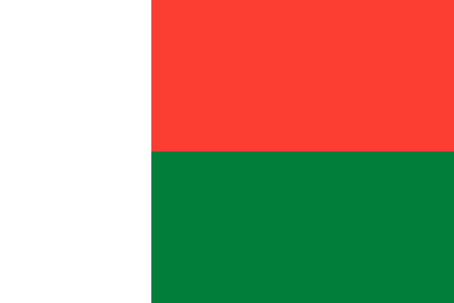
Adopted on 21 October 1958, two years before independence, as Madagascar prepared for a referendum on its status within the French Community, the flag pairs a vertical white band at the hoist with two horizontal bands, red above green.
White and red come from the colours of the Merina kingdom, carried by its last queen, Ranavalona III, possibly echoing the Austronesian origins the Malagasy share with Indonesia, whose flag uses the same two colours; green is said to stand instead for the Hova, the peasant class that drove the anti-colonial movement.

No land border.
So you know this country? Check that you know the other 192 too.
Data: Wikidata (CC0). Flags and map: Geo Nerd.
Are you sure you want to reset this game?