Malawi at a glance: its flag, its capital Lilongwe, its population and where it sits on the world map. Plus a way to test yourself afterwards.
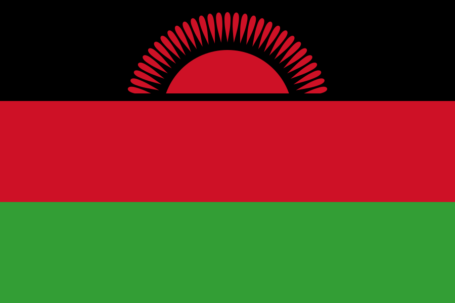
Adopted on 6 July 1964, when the former Nyasaland gained independence, Malawi’s flag stacks black, red and green horizontal bands. Replaced in 2010 by a version with a plain white sun, it returned to its original design as early as 2012, too popular to disappear for good.
Black stands for the African people, red for the blood shed for independence, green for the country’s vegetation; the rising sun with thirty-one rays marks Malawi as the thirty-first African state to gain independence.

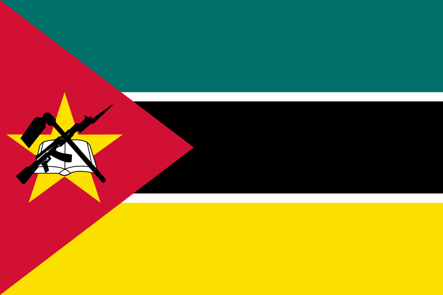
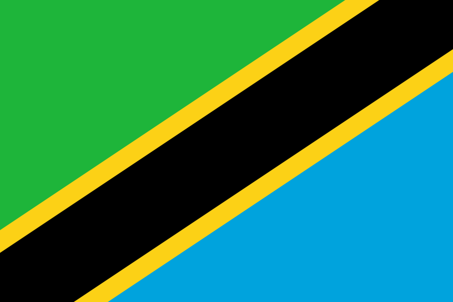
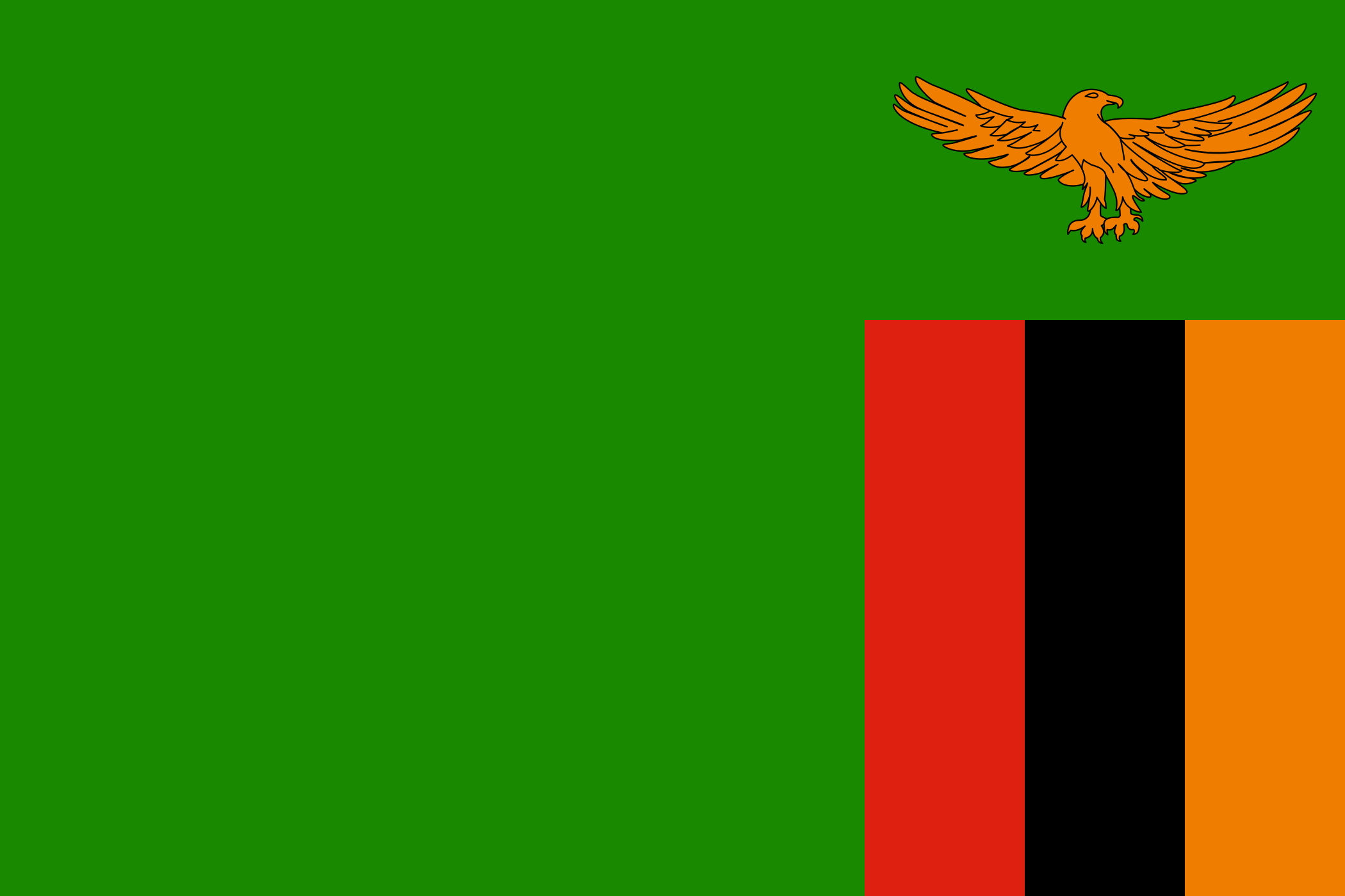
3 bordering countries
So you know this country? Check that you know the other 192 too.
Data: Wikidata (CC0). Flags and map: Geo Nerd.
Are you sure you want to reset this game?