
Marshall Islands at a glance: its flag, its capital Majuro, its population and where it sits on the world map. Plus a way to test yourself afterwards.
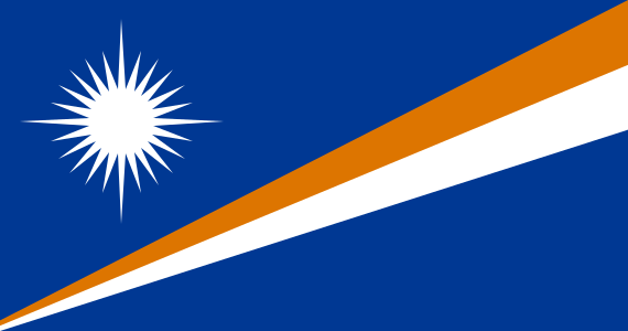
Adopted on 1 May 1979 and designed by Emlain Kabua, later the country’s First Lady, the flag of the Marshall Islands carries two diagonal stripes, orange and white, on a blue field representing the Pacific Ocean.
The stripes, widening towards the upper corner, stand for the Ratak (“sunrise”) and Ralik (“sunset”) island chains; the white star’s twenty-four points count the country’s electoral districts, its four elongated points marking the main cultural centres of Majuro, Jaluit, Wotje and Ebeye.

No land border.
So you know this country? Check that you know the other 192 too.
Data: Wikidata (CC0). Flags and map: Geo Nerd.
Are you sure you want to reset this game?