Lesotho at a glance: its flag, its capital Maseru, its population and where it sits on the world map. Plus a way to test yourself afterwards.
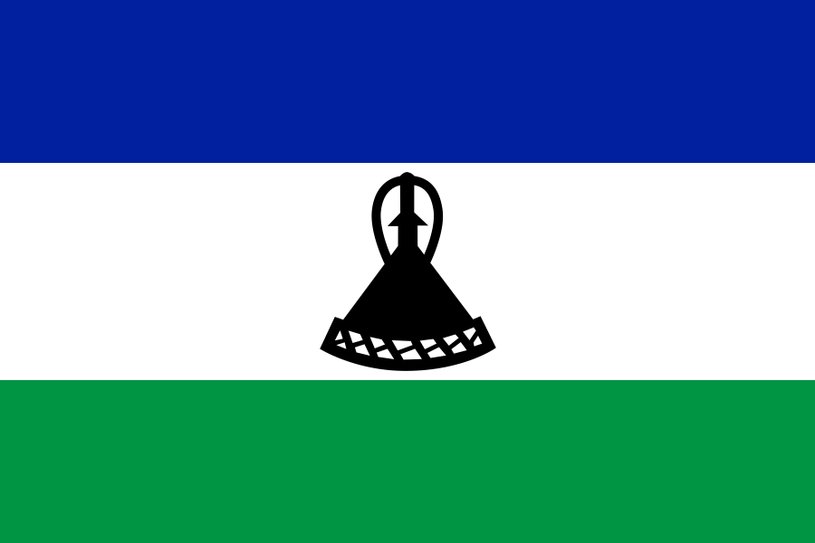
Adopted on 4 October 2006, for the fortieth anniversary of independence, Lesotho’s flag replaces the military emblems (a shield, a spear and a club) of an earlier design with a black mokorotlo, the traditional Basotho hat, on white flanked by blue and green.
Blue recalls the rain essential to farming in the highlands, white stands for peace and green for the country’s prosperity; the mokorotlo, whose conical shape is said to echo Mount Qiloane, had already appeared on the country’s very first flag in 1966.

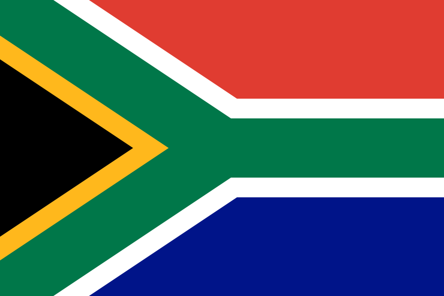
One bordering country
So you know this country? Check that you know the other 192 too.
Data: Wikidata (CC0). Flags and map: Geo Nerd.
Are you sure you want to reset this game?