
São Tomé and Príncipe at a glance: its flag, its capital São Tomé, its population and where it sits on the world map. Plus a way to test yourself afterwards.
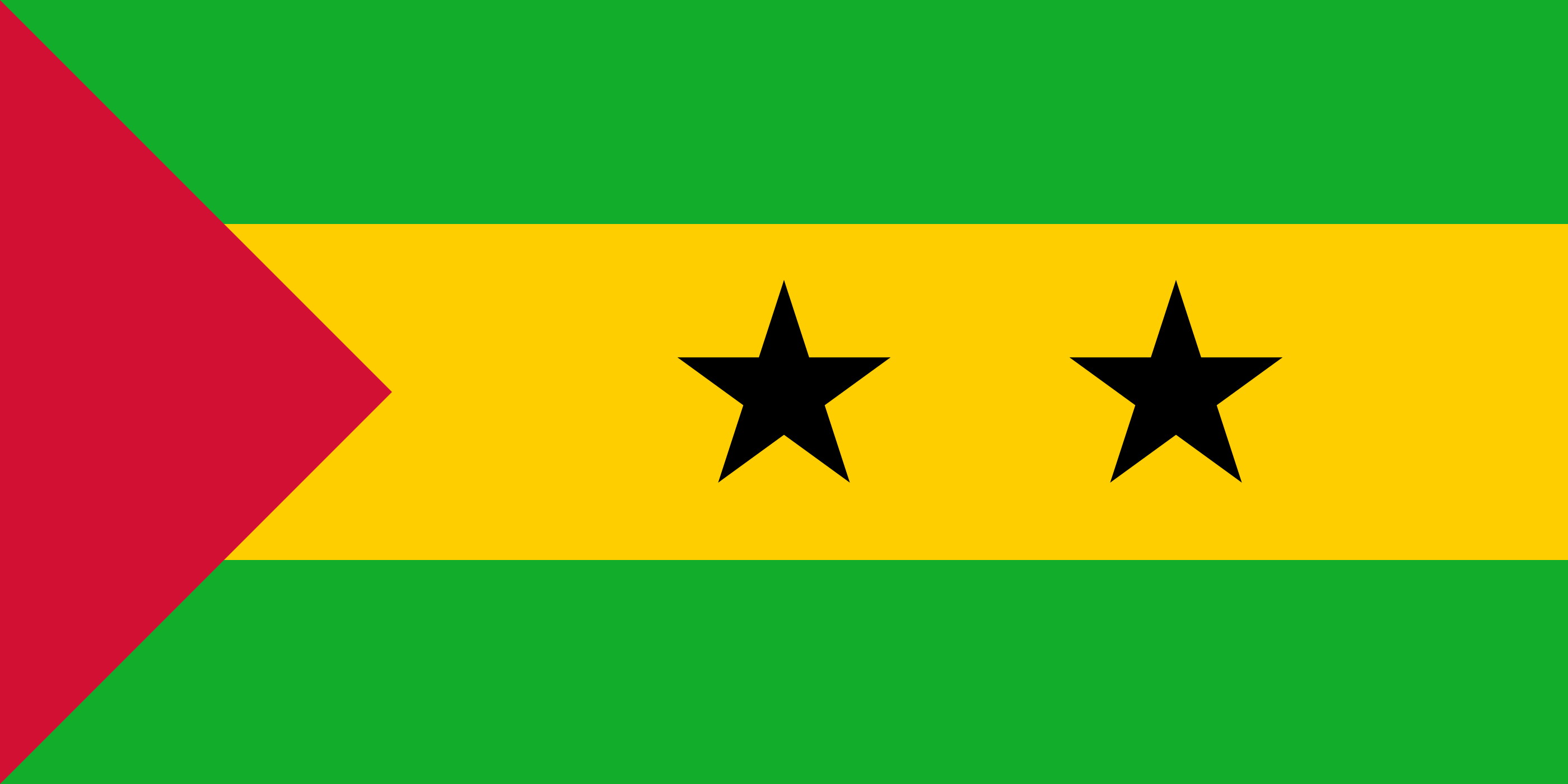
Adopted at independence from Portugal in 1975, the flag reuses the Pan-African colours popularised by Ghana from 1957, green, yellow and red, associated with the continent and its liberation struggles.
The two black stars on the yellow band represent the archipelago's two main islands, São Tomé and Príncipe, and recall the African descent of their population; the red triangle at the hoist symbolises the blood shed for independence.

No land border.
So you know this country? Check that you know the other 192 too.
Data: Wikidata (CC0). Flags and map: Geo Nerd.
Are you sure you want to reset this game?