
Trinidad and Tobago at a glance: its flag, its capital Port of Spain, its population and where it sits on the world map. Plus a way to test yourself afterwards.
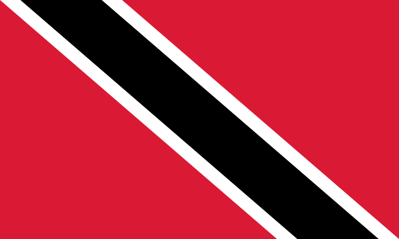
Adopted at independence from the United Kingdom in 1962, this flag avoids the horizontal stripes or crosses inherited from the colonial past for a black diagonal edged in white on a red field, chosen so as to resemble no other existing flag.
Red represents the vitality of the land and the warmth of its people, white the sea surrounding the two islands and equality among all, and black unity and strength; the diagonal also symbolises the meeting of fire, water and earth.

No land border.
So you know this country? Check that you know the other 192 too.
Data: Wikidata (CC0). Flags and map: Geo Nerd.
Are you sure you want to reset this game?