Timor-Leste at a glance: its flag, its capital Dili, its population and where it sits on the world map. Plus a way to test yourself afterwards.
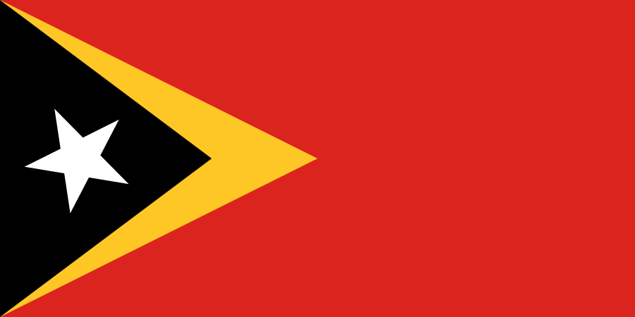
This flag was first raised on 28 November 1975, during the very brief independence proclaimed from Portugal, then crushed nine days later by the Indonesian invasion; it became official again on 20 May 2002, at renewed independence.
Red symbolises the struggle for national liberation, the black triangle the obscurantism to be overcome, the yellow triangle the traces of the colonial past, and the white star peace, meant to guide the country like a pole star.

One bordering country
So you know this country? Check that you know the other 192 too.
Data: Wikidata (CC0). Flags and map: Geo Nerd.
Are you sure you want to reset this game?