
Cabo Verde at a glance: its flag, its capital Praia, its population and where it sits on the world map. Plus a way to test yourself afterwards.
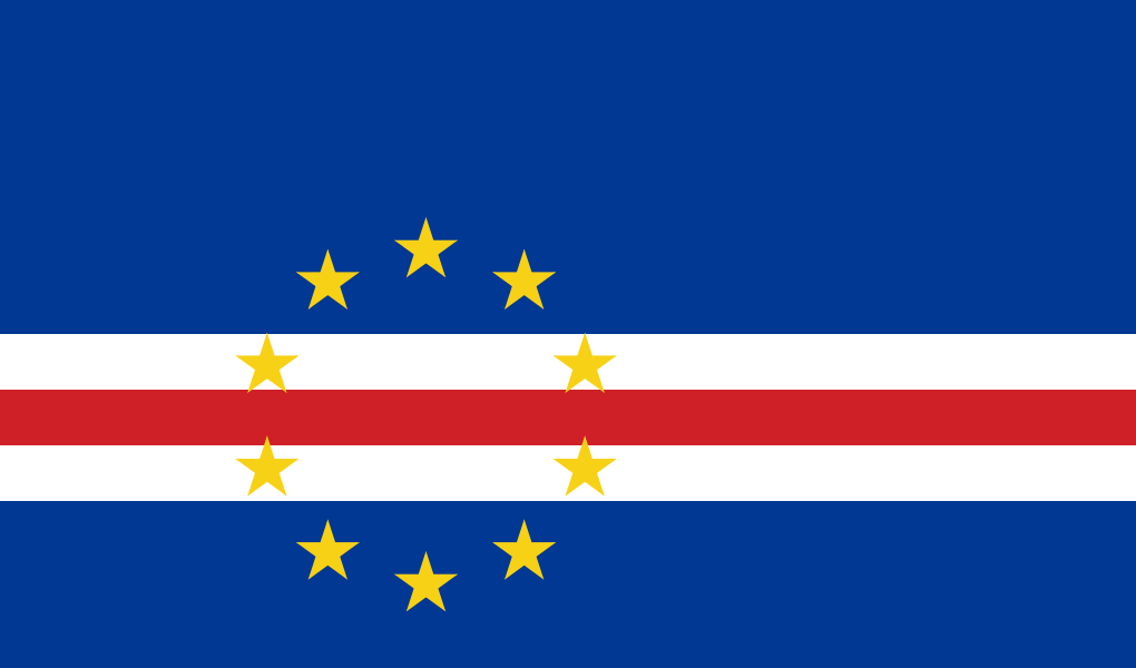
The current flag, designed by Pedro Gregorio Lopes, was adopted on 22 September 1992, after the ruling single party's defeat in the 1991 election: it replaced the independence-era flag, derived from the red-yellow-green pan-African flag of the PAIGC.
Blue represents the ocean surrounding the archipelago, the white and red bands the peace and effort of the road travelled toward progress; the ten yellow stars in a circle stand for the country's ten main islands, even though its name means "Cape Verde".

No land border.
So you know this country? Check that you know the other 192 too.
Data: Wikidata (CC0). Flags and map: Geo Nerd.
Are you sure you want to reset this game?