Congo at a glance: its flag, its capital Brazzaville, its population and where it sits on the world map. Plus a way to test yourself afterwards.
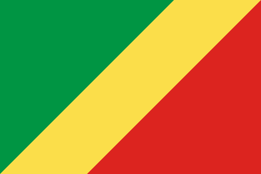
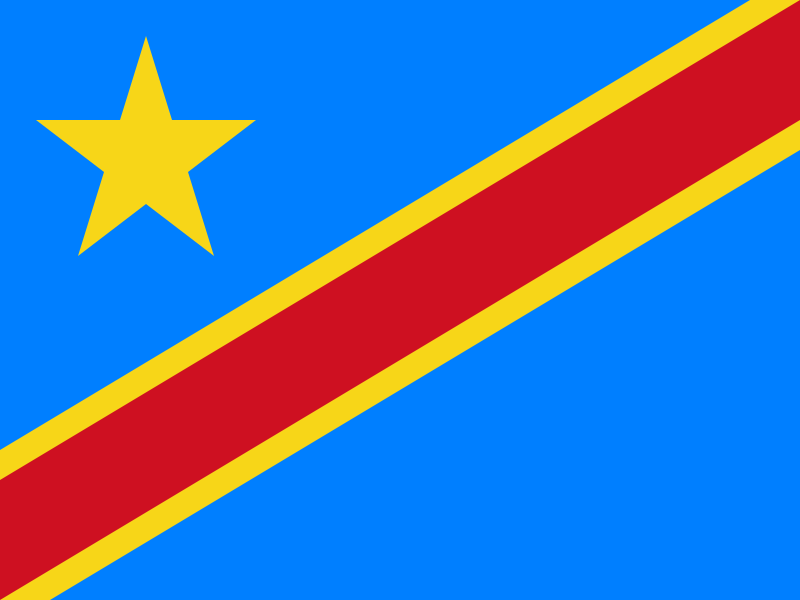
Adopted on 15 September 1959, a year before independence, this diagonally split tricolour of the Congo reuses the pan-African colours of Ethiopia's flag; it was replaced in 1970 by a red flag bearing the emblem of the Congolese Labour Party under the Marxist regime, before being restored on 10 June 1991 when that regime fell.
The only national flag in the world to use a diagonal split, it sets a green triangle, symbolising forests and agriculture, against a red one, separated by a broad yellow band standing for the friendship and nobility of the Congolese people.

5 bordering countries
So you know this country? Check that you know the other 192 too.
Data: Wikidata (CC0). Flags and map: Geo Nerd.
Are you sure you want to reset this game?