Tanzania at a glance: its flag, its capital Dodoma, its population and where it sits on the world map. Plus a way to test yourself afterwards.
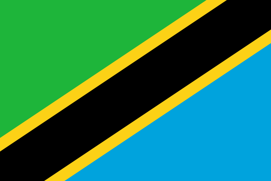
Adopted on 30 June 1964, two months after the union of Tanganyika and Zanzibar created Tanzania, the flag combines elements of the two former ensigns: Tanganyika’s green and black, and Zanzibar’s blue.
Green stands for the country’s farmland and vegetation, black for its people, blue for the Indian Ocean along with the lakes and rivers that water it, and the yellow fringing the diagonal band for its mineral wealth.

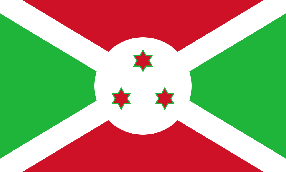
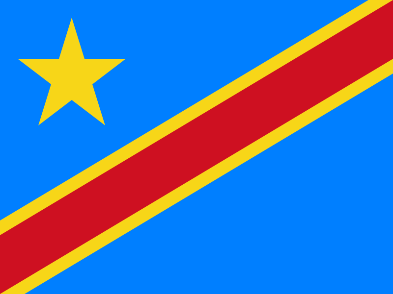
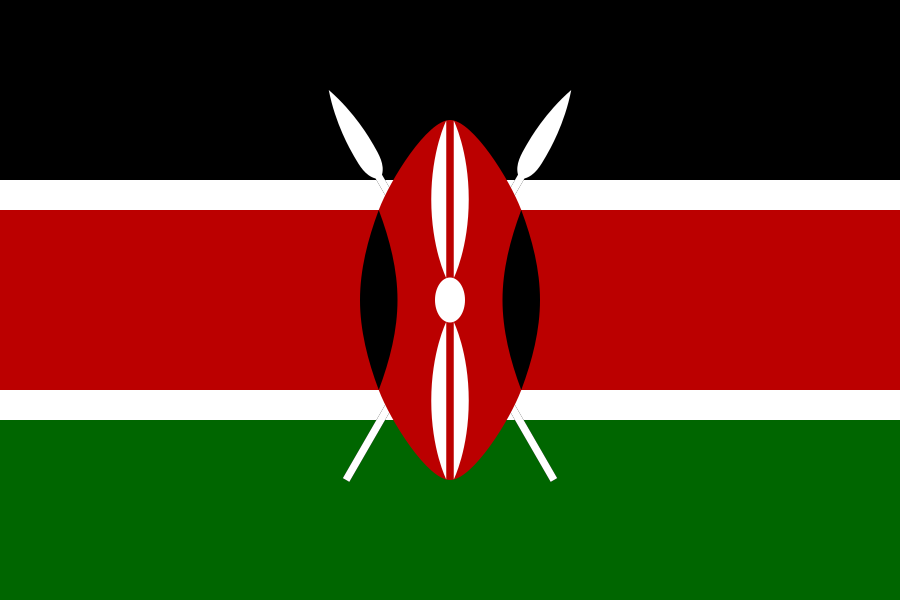
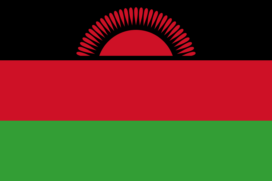
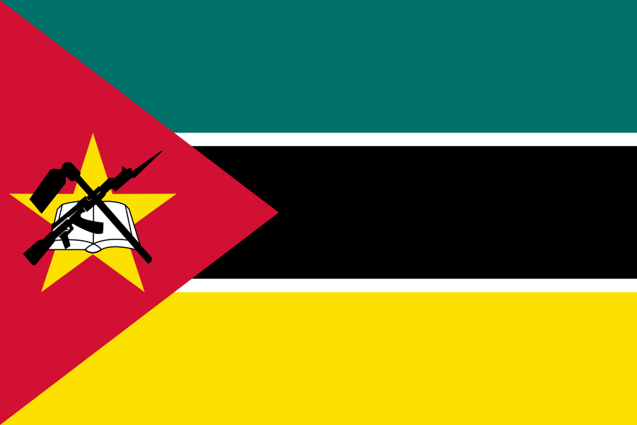
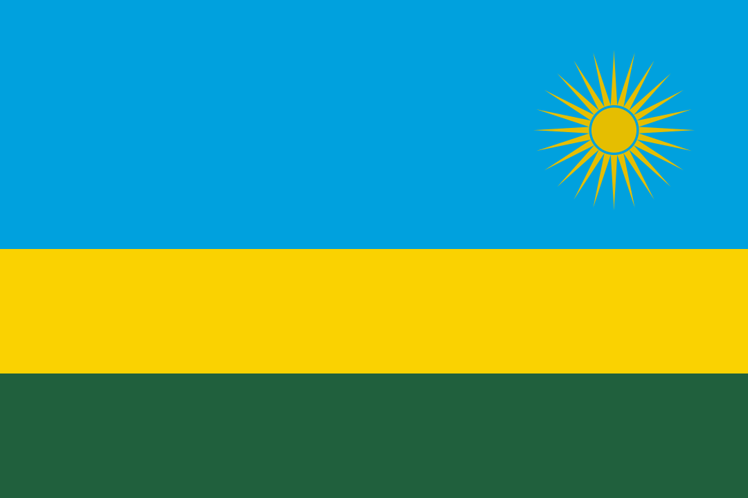
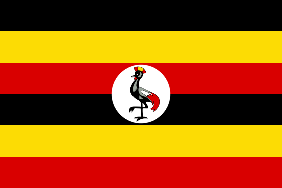
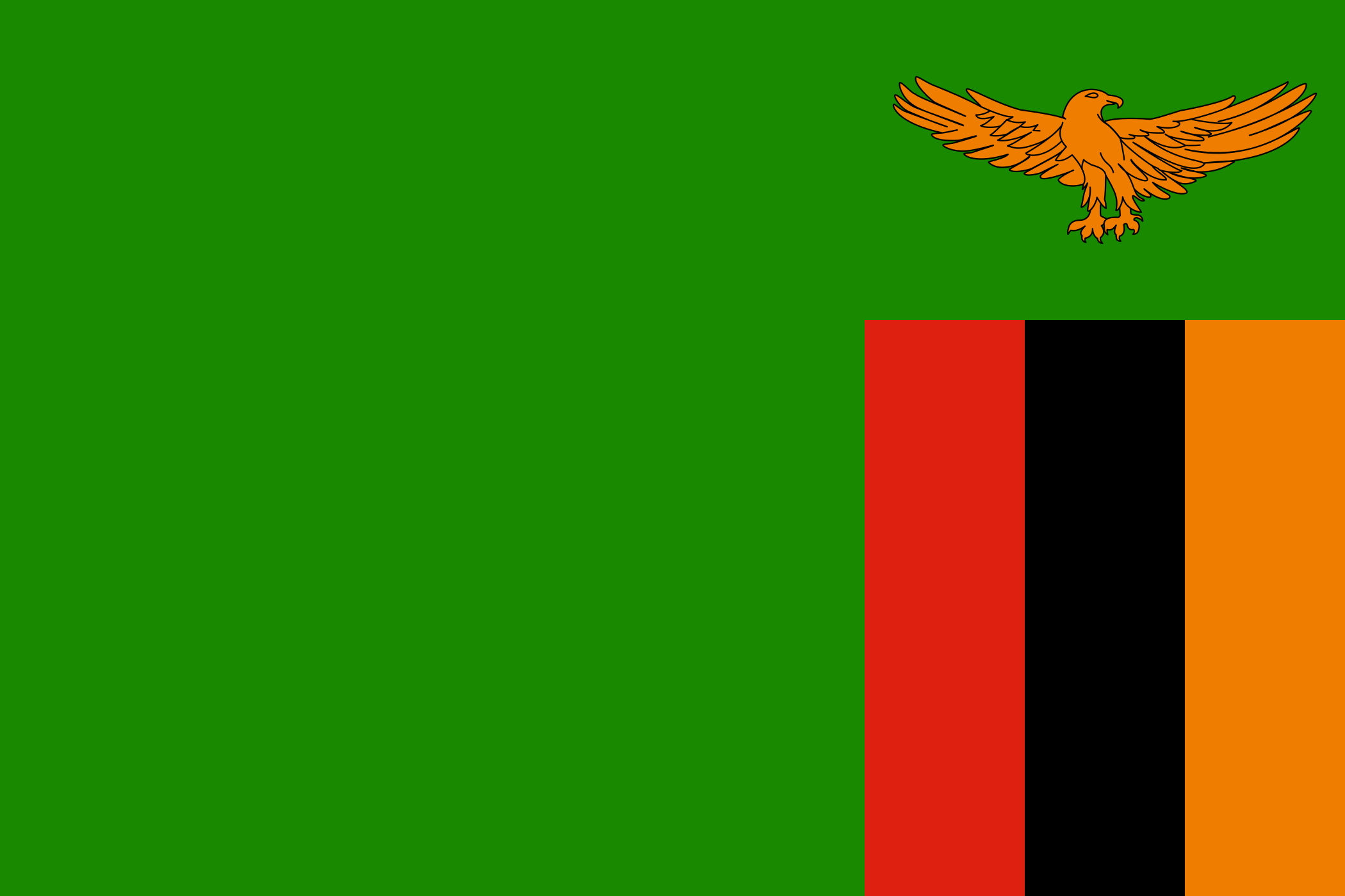
8 bordering countries
So you know this country? Check that you know the other 192 too.
Data: Wikidata (CC0). Flags and map: Geo Nerd.
Are you sure you want to reset this game?