Equatorial Guinea at a glance: its flag, its capital Malabo, its population and where it sits on the world map. Plus a way to test yourself afterwards.
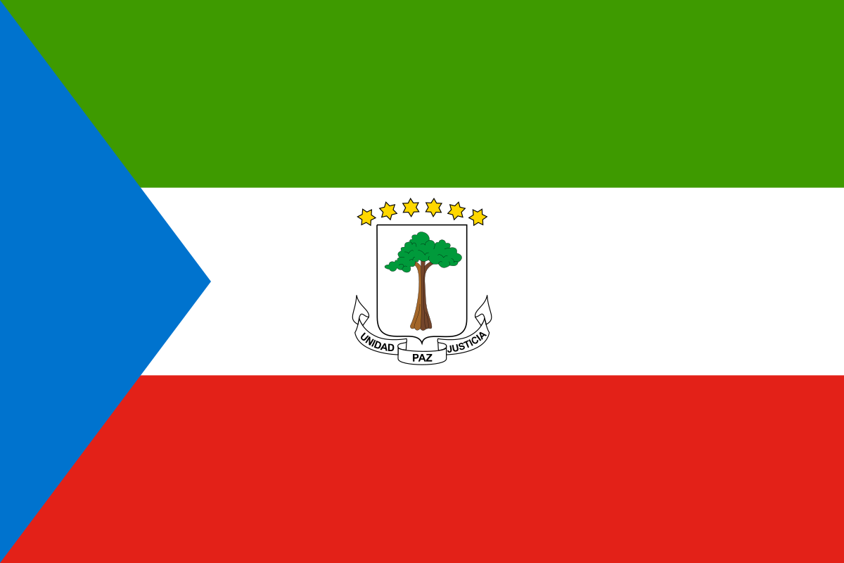
Adopted at independence on 12 October 1968, Equatorial Guinea’s flag layers three horizontal bands (green, white, red) over a blue hoist-side triangle, symbolising the ocean linking the mainland to the country’s islands.
At the centre, the coat of arms shows a silk-cotton tree (under which the first treaty with Spain was signed in 1843), topped by six stars standing for the mainland and the five islands, beneath the motto “Unidad, Paz, Justicia” (unity, peace, justice).

2 bordering countries
So you know this country? Check that you know the other 192 too.
Data: Wikidata (CC0). Flags and map: Geo Nerd.
Are you sure you want to reset this game?