Eritrea at a glance: its flag, its capital Asmara, its population and where it sits on the world map. Plus a way to test yourself afterwards.
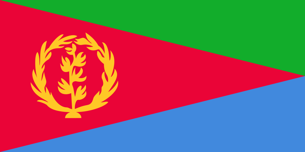
This flag reuses the layout of the banner of the Eritrean People's Liberation Front, the movement that fought a thirty-year war against Ethiopia before independence in 1993; the red triangle, charged with a gold olive wreath, was first hoisted on 24 May 1993 and standardised in 1995.
The wreath's thirty leaves stand for the thirty years of struggle; green represents agriculture and livestock, blue the resources of the Red Sea, and the olive branch echoes the 1952 flag, itself inspired by the emblem of the United Nations.

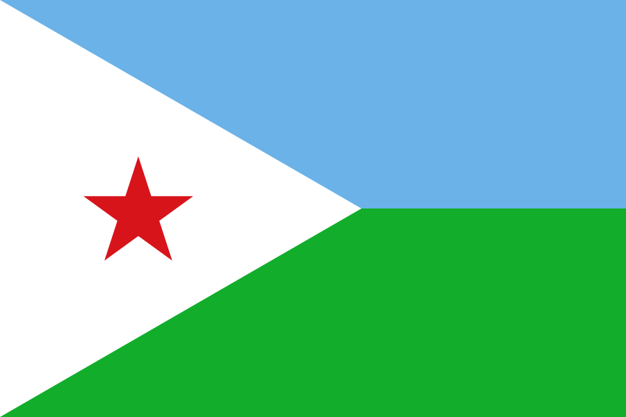
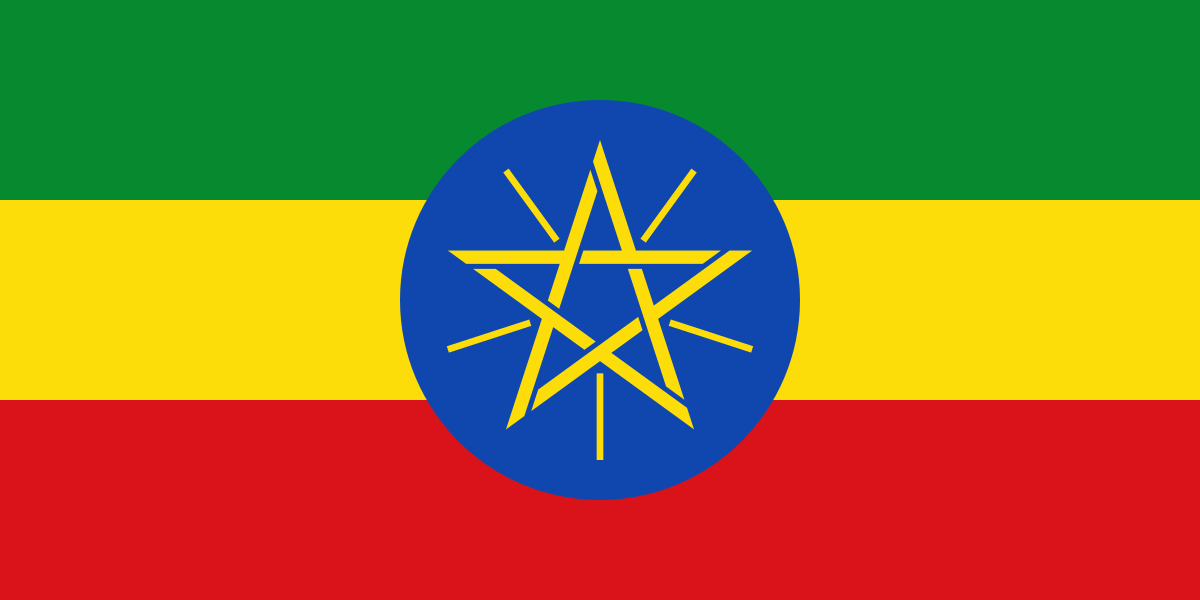
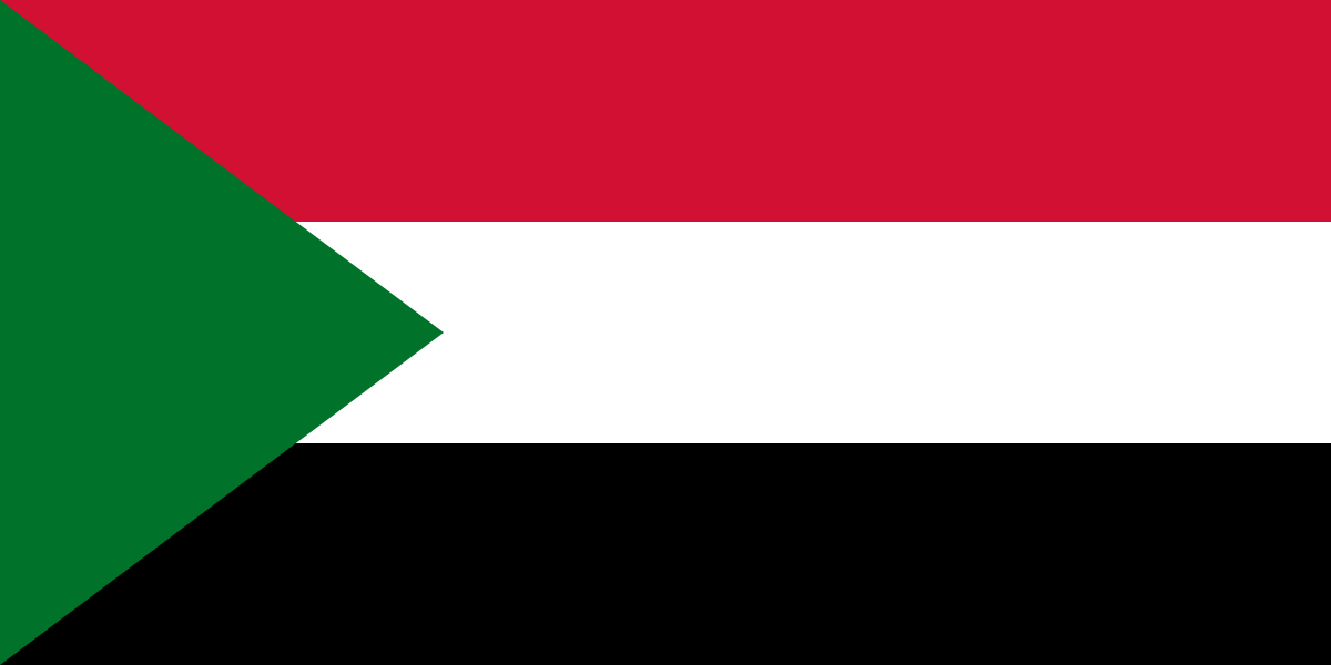
3 bordering countries
So you know this country? Check that you know the other 192 too.
Data: Wikidata (CC0). Flags and map: Geo Nerd.
Are you sure you want to reset this game?