Benin at a glance: its flag, its capital Porto-Novo, its population and where it sits on the world map. Plus a way to test yourself afterwards.
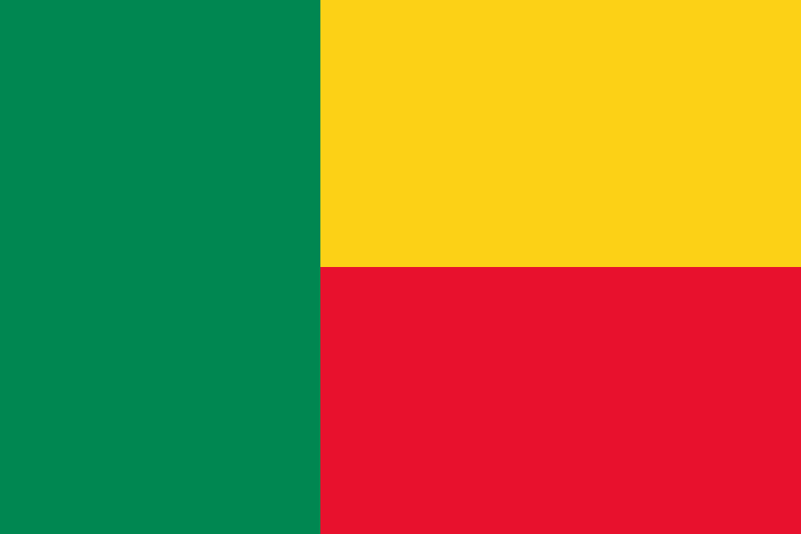
Adopted on 16 November 1959, on the eve of independence for Benin, then Dahomey, this tricolour was dropped in 1975 under the Marxist People’s Republic in favour of a green flag with a red star, before being restored on 1 August 1990 with the return to pluralism.
Green, in the vertical stripe, stands for hope; yellow for the wealth of the northern savannas; red for the courage of the ancestors — these pan-African colours echo, in a different order, those of neighbouring Mali or Senegal.

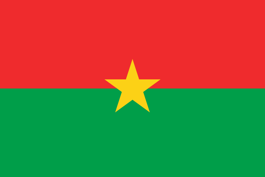
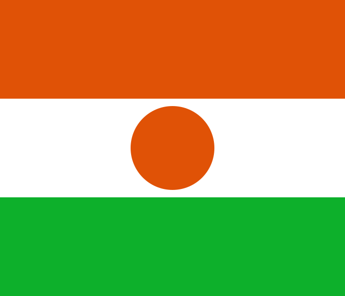
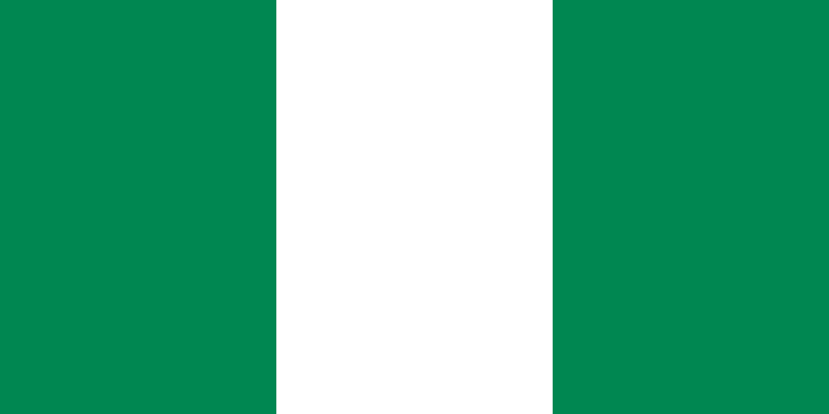
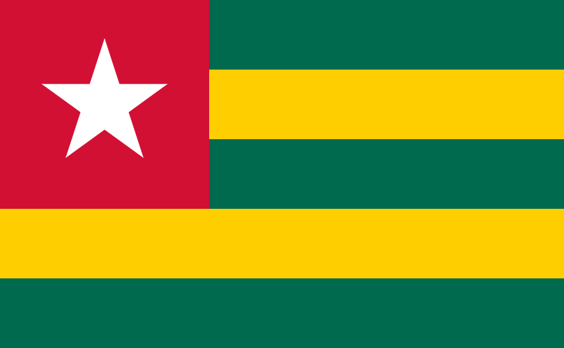
4 bordering countries
So you know this country? Check that you know the other 192 too.
Data: Wikidata (CC0). Flags and map: Geo Nerd.
Are you sure you want to reset this game?